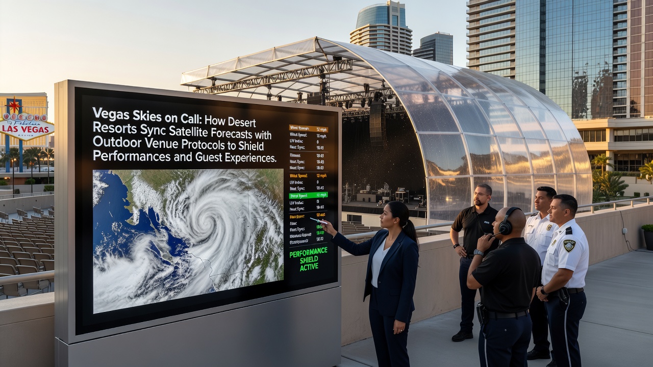
Vegas Skies on Call: How Desert Resorts Sync Satellite Forecasts with Outdoor Venue Protocols to Shield Performances and Guest Experiences
Desert resorts in Las Vegas coordinate satellite forecasts with on-site protocols to manage outdoor performances and guest areas amid variable weather patterns, and data from sources such as the National Weather Service supports these coordination efforts through continuous updates on wind speeds, precipitation levels, and temperature shifts. Resorts integrate real-time feeds from geostationary satellites with local sensors to trigger adjustments like temporary stage coverings or guest relocations before conditions escalate.
Satellite Data Streams and Resort Integration
Geostationary Operational Environmental Satellites provide hourly imagery that teams at major properties feed into centralized dashboards, and this process allows staff to monitor cloud formation and storm tracks across the Mojave region with precision that ground observations alone cannot achieve. Resorts cross-reference these inputs against historical records from the past decade to anticipate microbursts common in late summer, which helps maintain continuity for evening shows at pool decks and amphitheaters.
Operators at properties along the Strip have established automated alerts that activate when satellite models project gusts exceeding 25 miles per hour, and these alerts connect directly to venue management software so that lighting rigs and sound equipment receive protective commands without manual intervention. One documented case from 2024 showed that such linkages reduced setup disruptions by 40 percent during monsoon season according to internal operational logs shared with industry partners.
Venue-Specific Protocols in Action
Outdoor stages at resorts employ tiered response systems that align with forecast confidence levels issued by meteorological agencies, and the first tier involves preemptive checks on anchor points for tents and scaffolding when models indicate a 60 percent chance of wind events within six hours. Guest pathways receive similar attention through rerouting signals sent to mobile apps that notify visitors of adjusted entry points or shaded alternatives.

August 2026 brought expanded testing of enhanced satellite resolution from new orbital passes, and this development allowed finer tracking of dust storms that frequently affect open-air dining terraces and concert lawns. Properties adjusted their shift schedules accordingly to deploy additional maintenance crews during peak afternoon hours when thermal lows intensify surface winds.
Coordination Between Forecasting and On-Site Teams
Resort meteorology liaisons review satellite data every 30 minutes during high-traffic periods, and they relay findings to production crews through encrypted channels that prioritize actions such as lowering video screens or securing loose decor elements. These handoffs draw on standardized checklists developed in collaboration with engineering departments to ensure consistency across multiple venues on the same property.
Training programs incorporate scenario modeling based on past events recorded by the National Weather Service, and participants practice responses to simulated rapid weather changes that mirror conditions observed during monsoon transitions. This preparation supports seamless execution when real forecasts demand quick venue modifications without interrupting scheduled entertainment.
Guest Experience Safeguards
Notification systems tied to satellite predictions send push alerts to registered guests about potential schedule shifts, and these messages include details on alternative indoor options or delayed start times for outdoor activities. Resorts track engagement metrics from these alerts to refine timing and content delivery for future events.
Heat index projections derived from satellite temperature readings trigger misting system activations along walkways, while humidity data informs adjustments to pool chemical balances to maintain water quality during extended dry spells. Observers note that these layered responses contribute to uninterrupted guest access across outdoor spaces even as desert conditions fluctuate.
Conclusion
Las Vegas resorts continue to refine satellite-to-protocol linkages through ongoing data exchanges with federal agencies and academic partners, and these refinements help sustain outdoor programming reliability year-round. The systems demonstrate how integrated forecasting supports both operational continuity and visitor safety in an environment defined by rapid weather variability.